sasa
Google Map
Creston is primarily a farming community located just south of the Kootenay Lake and the communities of the East Shore.
Main Industries: farming, fruit orchards
Elevation: 611 m. (2,005 ft.)
Population : 4,0000
Access:Reach Creston on Highway 3, east of Salmo and west of Cranbrook. Highway 3A, south of Kootenay Bay, intersects with Highway 3 close to Creston. Commercial flights and bus routes also service the community
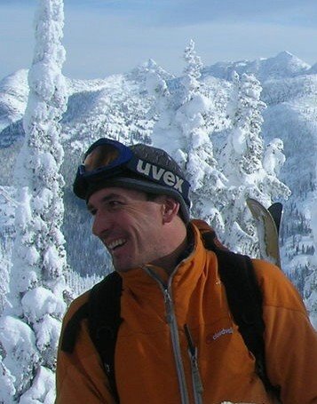
Recreation Facilities & Activities: golf course, fishing, hunting, hiking, cross-country skiing, birdwatching
Local Attractions: Creston Wildlife Management Area Centre, Creston Golf Course, The Glass House, Wayside Gardens and Arboretum, Columbia Brewery, Kootenay Candle Factory, Creston Valley Museum (the Stonehouse), Cresteramics, The Murals.
May - Blossom Festival
October - Apple Festival
Accommodations: The traveller can choose from motel/hotel/bed & breakfast within town. A number of campground/RV parks and a guest ranch are located close to town.
Recreation
Forestry Lookout at Mt Thompson
Creston Visitor Info Centre
1711 Canyon Street, Box 268, Creston, BC V0B 1G0
Phone: (250) 428-4342
Kootenay Rockies Tourism
Creston is primarily a farming community located just south of the Kootenay Lake and the communities of the East Shore.
Main Industries: farming, fruit orchards
Elevation: 611 m. (2,005 ft.)
Population : 4,0000
Access:Reach Creston on Highway 3, east of Salmo and west of Cranbrook. Highway 3A, south of Kootenay Bay, intersects with Highway 3 close to Creston. Commercial flights and bus routes also service the community
Recreation Facilities & Activities: golf course, fishing, hunting, hiking, cross-country skiing, birdwatching
Local Attractions: Creston Wildlife Management Area Centre, Creston Golf Course, The Glass House, Wayside Gardens and Arboretum, Columbia Brewery, Kootenay Candle Factory, Creston Valley Museum (the Stonehouse), Cresteramics, The Murals.
May - Blossom Festival
October - Apple Festival
Accommodations: The traveller can choose from motel/hotel/bed & breakfast within town. A number of campground/RV parks and a guest ranch are located close to town.
Recreation
Forestry Lookout at Mt Thompson
Creston Visitor Info Centre
1711 Canyon Street, Box 268, Creston, BC V0B 1G0
Phone: (250) 428-4342
Kootenay Rockies Tourism
posted by Trevor at 10:34 AM
0 comments
![]()
![]()